Students will have two applications open simultaneously - Google Earth and Microsoft PowerPoint. They will use a predefined PowerPoint template for the project. They will be given a worksheet with a list of locations in Africa and use Google Earth to explore the different locations. They will select their favorite photos and copy them to PowerPoint. They must create a slide for each location. The title of each slide should be the location. They can include up to four images. Each image must include the country where the photo is from and the name of the photographer. Once they have completed all the locations, for extra credit, they can add a good fact (from FactMonster.com) about each location at the bottom of the slide.
To kick off your new geography unit on Africa, you will be playing a game called Expedition Africa. Make sure you take the time to read the instructions along the way. Good luck. I hope you make it to Ujiji safely. The fate of your expedition is in your hands! 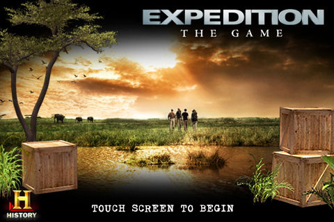
Click on the image to play the game.
|
GalleryClick here to see the 4th Grade projects: Haiku Zoo
Archives
June 2014
Categories
All
|

 RSS Feed
